


Some error occured while loading the Quick View. Please close the Quick View and try reloading the page.
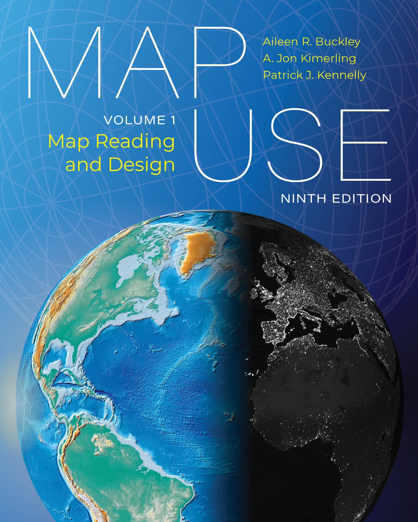
Learn the most critical concepts for map comprehension and creation with the updated ninth edition of this authoritative text.
Maps are sophisticated conceptual creations. They convey as much about how people think and communicate as they do about the mapped environment. So how do we create maps that convey essential information correctly?
Map Use: Map Reading and Design, Volume 1, ninth edition, distills content from the classic textbook Map Use: Reading, Analysis, Interpretation, eighth edition. This refined edition is a comprehensive primer that provides readers with the knowledge and skills to read and understand maps, design and make maps, and recognize the limitations and inaccuracies of maps.
Combining authoritative text with hundreds of stunning visuals to describe foundational cartographic concepts in the context of the industry’s latest innovations, Map Use: Map Reading and Design, Volume 1 takes the reader beyond visual representations and into the decision-making processes of cartographers.
Changes for the ninth edition include reindexing; revised datums, maps, and images; an updated map projection guide; a new state plane coordinate system; and updated text to reflect new concepts, practices, and technology. An online glossary is also available.
Topics include:
- map scale,
- map projections,
- map design,
- map organization and layout,
- qualitative and quantitative thematic maps,
- relief representation,
- imagery and maps, and
- maps and reality.
The book makes basic cartographic principles accessible to all, from students of cartography and GIS to motivated self-learners and seasoned mapping practitioners. It is also an invaluable companion for college-level instructors, with a thoughtful structure designed for college curricula.
Get ready to improve your understanding and creation of maps.

“…an ideal textbook for students, cartographers, and non-specialist general readers with an interest in improve their understanding of how maps are created, read, and applied…unreservedly recommended…”
Foreword
Preface
Acknowledgments
Introduction
Chapter 1: The earth and earth coordinates
Chapter 2: Map scale
chapter 3: Map projections
chapter 4: Grid coordinate systems
Chapter 5: Land partitioning
Chapter 6: Map design
Chapter 7: Map organization and layout
Chapter 8: Qualitative thematic maps
Chapter 9: Quantitative thematic maps
Chapter 10 Relief portrayal
Chapter 11: Imagery and maps
Chapter 12: Maps and reality